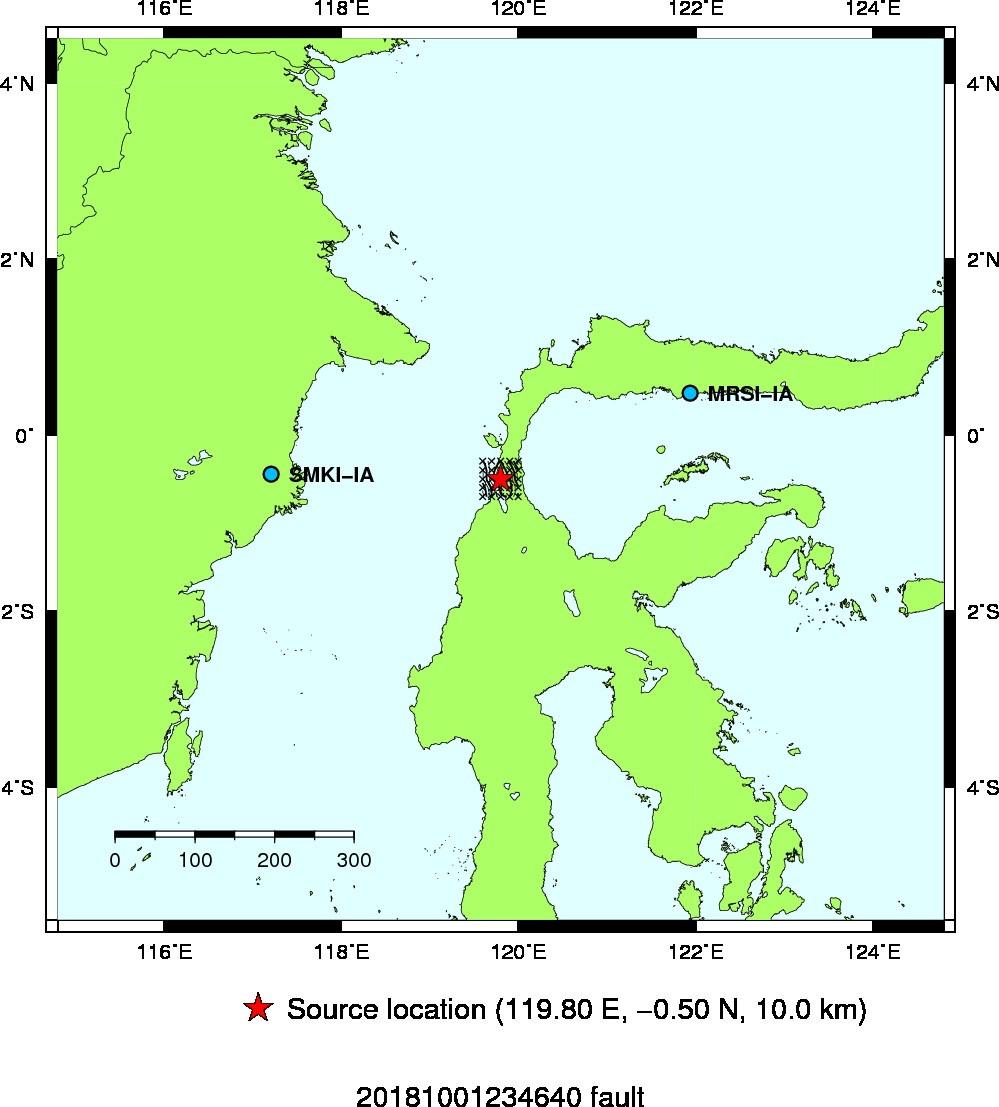
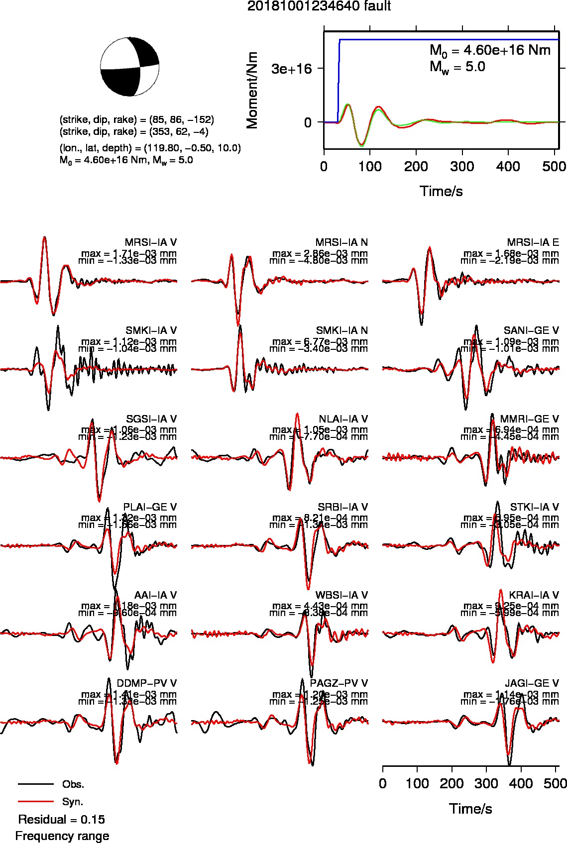
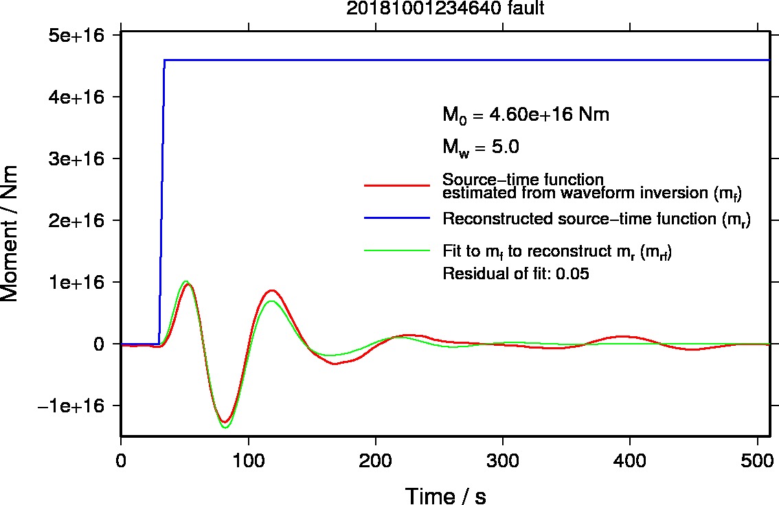
2018/10/01 23:46 Minahassa Peninsula, Sulawesi
| Date (UTC) |
Longitude |
Latitude |
Depth (km) |
Mw |
Analysis |
| 2018/10/01 23:46 |
119.8 E |
0.5 S |
10 |
5.0 |
Manual (Rapid solution) |
Grid spacing
- 0.1 degree for the longitude and latitude
- 5 km for the depth
- 1 degree for the dip, strike, and rake
Last update: 2018/10/05 16:33 (JST)
Back to earthquake list
- Map showing the source location and contour of residuals of waveform inversions
- Source mechanism and Waveform fits
- Source-time function
- Previous results
Back to earthquake list