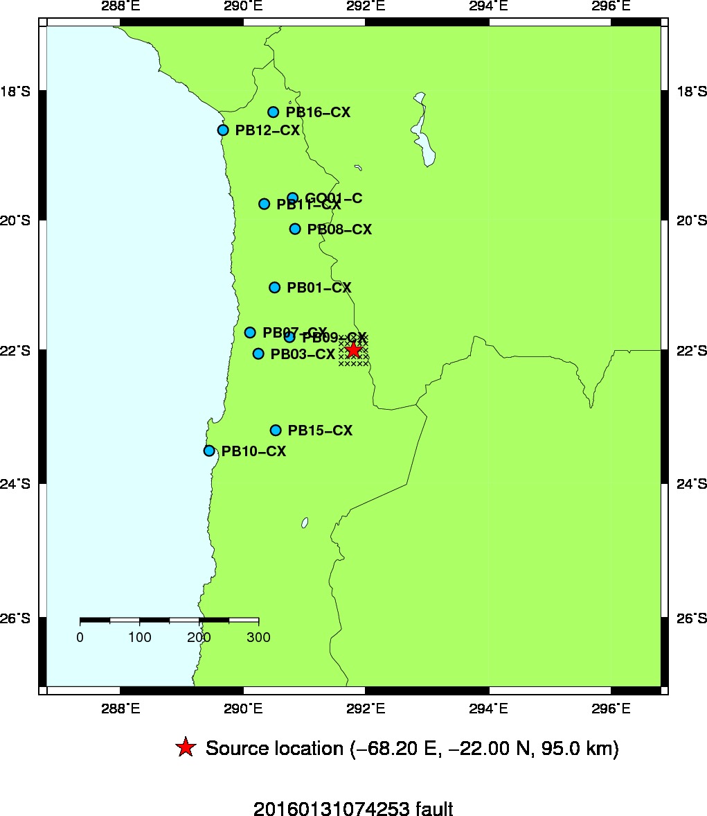
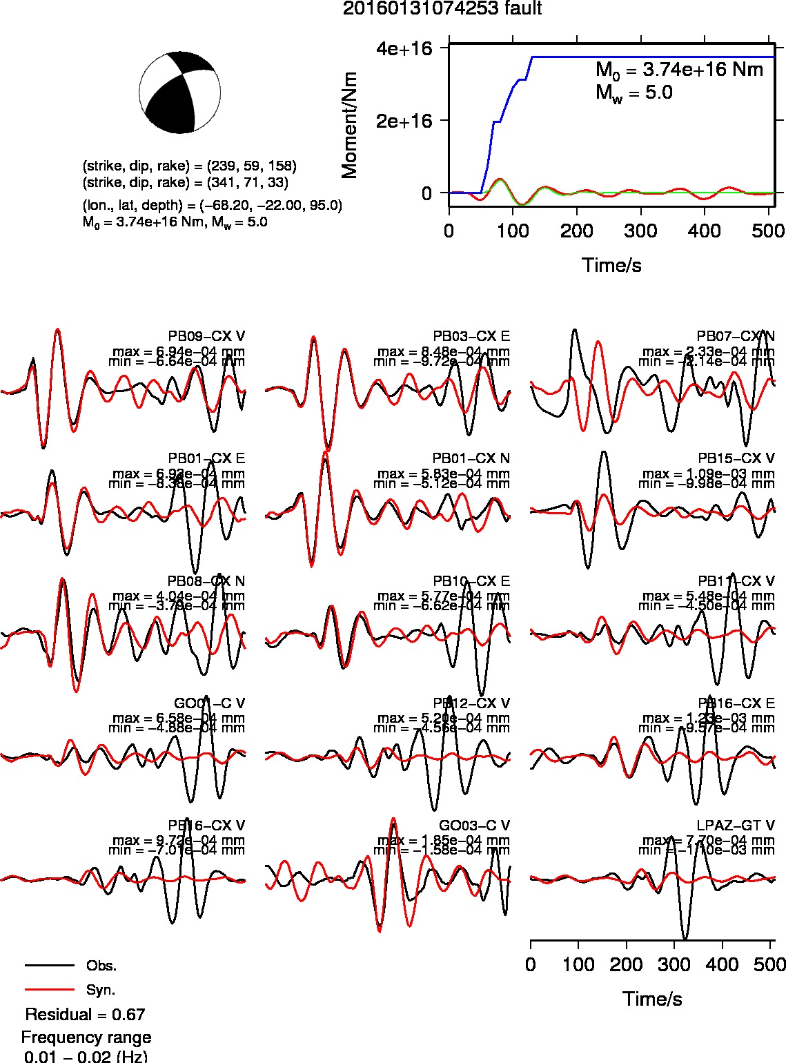
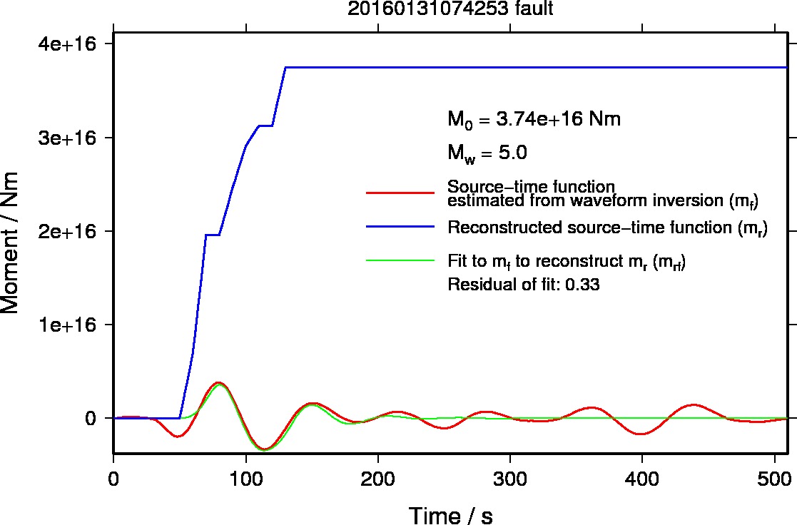
2016/01/31 07:42 Chile-Bolivia Border Region
| Date (UTC) |
Longitude |
Latitude |
Depth (km) |
Mw |
Analysis |
| 2016/01/31 07:42 |
68.2 W |
22.0 S |
95 |
5.0 |
Auto |
Grid spacing
- 0.1 degree for the longitude and latitude
- 5 km for the depth
- 1 degree for the dip, strike, and rake
Last update: 2016/01/31 16:55 (JST)
Back to earthquake list
- Map showing the source location and contour of residuals of waveform inversions
- Source mechanism and Waveform fits
- Source-time function
- Previous results
Back to earthquake list